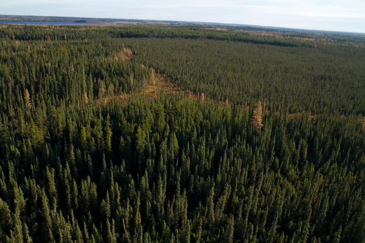
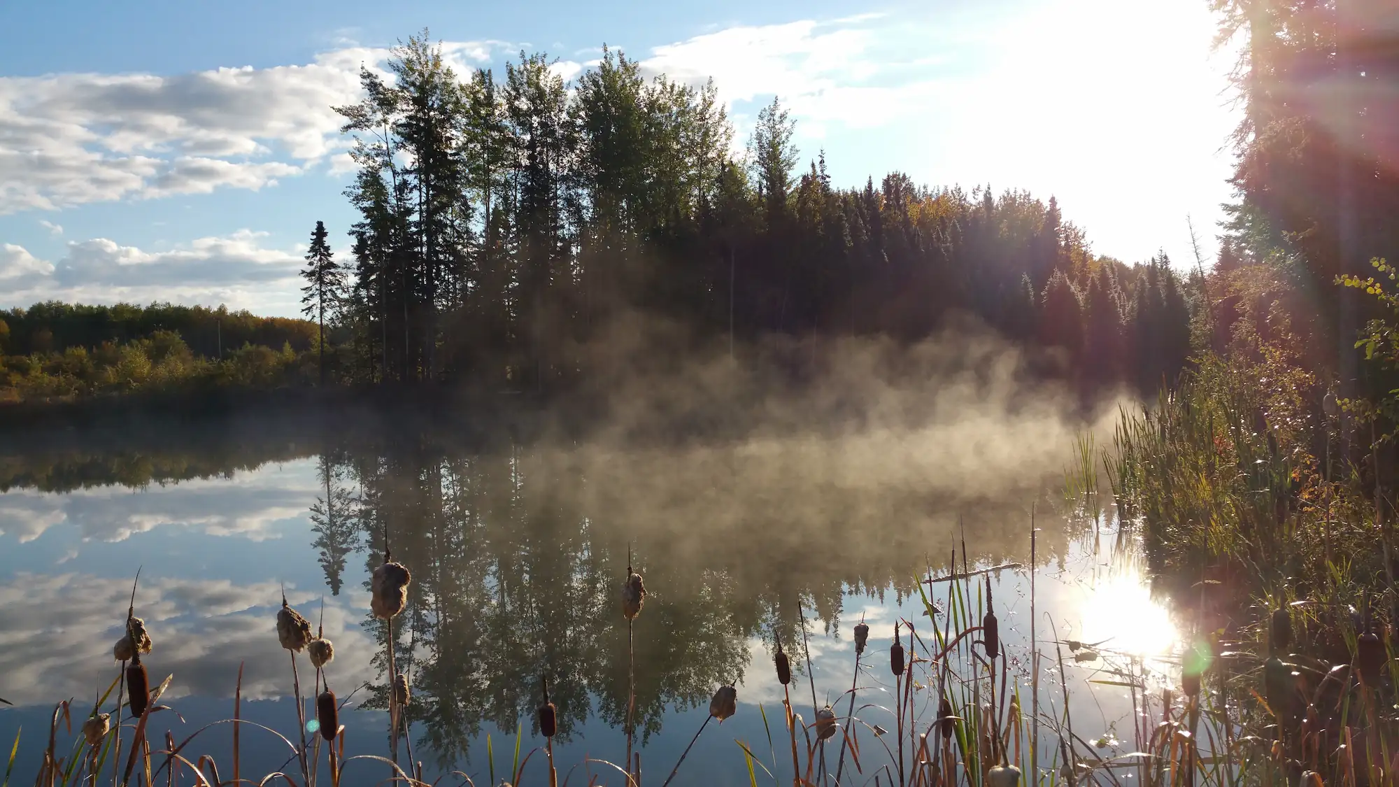
A database and modelling tool known as the Landscape Ecological Assessment and Planning (LEAP) Framework (project code: LJ0070) is helping COSIA member companies better understand how reforestation and reclamation work undertaken today will impact the health of tomorrow’s boreal forest. LEAP uses location data of oil and gas leases, forest types, lakes, watercourses, and other landscape features to target where and how conservation and reclamation efforts can have the greatest impact. It also allows planners to visually project what current reclamation and reforestation areas will look like 10, 20 and even 50 years down the road.
Spanning across 3.7 million hectares of Alberta’s boreal forest, this tool is helping address widespread reclamation challenges. LEAP can help indicate which disturbed areas will benefit the most from revegetation efforts which is critical when resources are limited, and impacts must be maximized. Although the amount of land disturbed by oil and gas operations is a relatively small percentage of the total area, linear disturbances like seismic lines and pipeline corridors can have a high cumulative impact because of forest fragmentation — affecting wildlife habitat, particularly for woodland caribou. LEAP is helping to turn fragmented landscapes into restored, functioning ecosystems where wildlife and industry coexist.
Other LEAP projects include: LL0094, LL0096, LL0103, and LJ0234
Read more about LEAP: https://www.silvacom.com/news/assessing-linear-restoration-ecosystem-service-benefits